


9 km | 16 km-effort

Les Hautes Alpes à découvrir ! GUIDE+


Gratisgps-wandelapplicatie
 SityTrail
IGN / Geografische instituten
SityTrail World
De wereld gaat voor u open
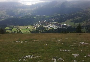
Tocht Stappen van 10,6 km beschikbaar op Provence-Alpes-Côte d'Azur, Hautes-Alpes, Le Dévoluy. Deze tocht wordt voorgesteld door Camping Les Rives du Lac.
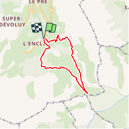
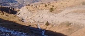
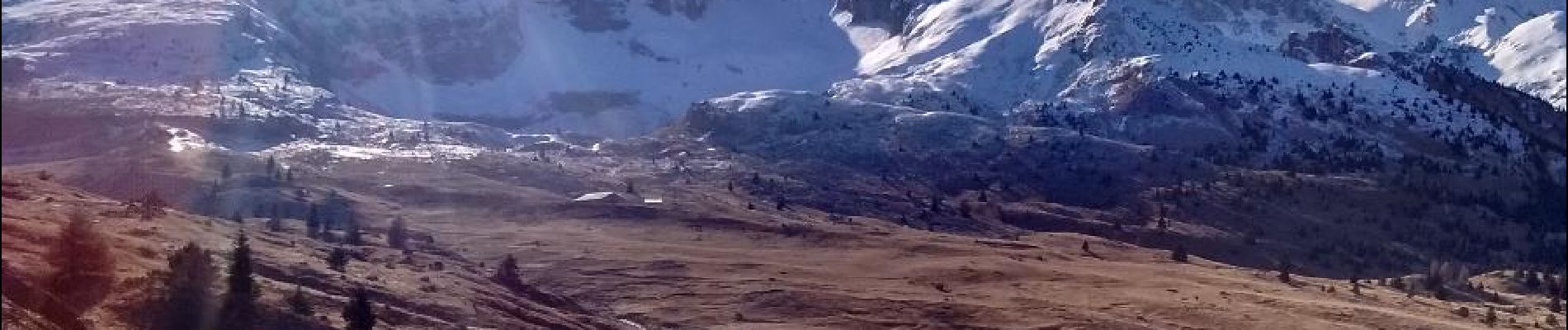
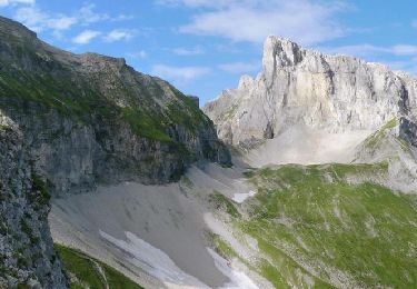
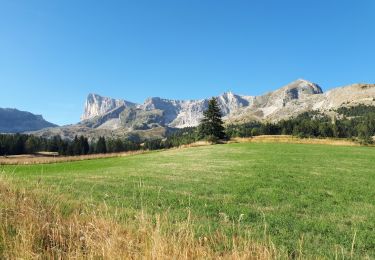
Randonnée sans aucune difficulté, montée très douce. En partant de l'Enclus, vous empruntez le petit sentier puis suivez la piste forestière jusqu'au col. La vue est magnifique. Retour par le sentier de Grande Randonnée


Stappen

Stappen

Stappen
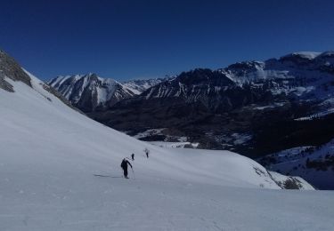
Ski randonnée

Mountainbike
Stappen

Stappen
Stappen
Stappen